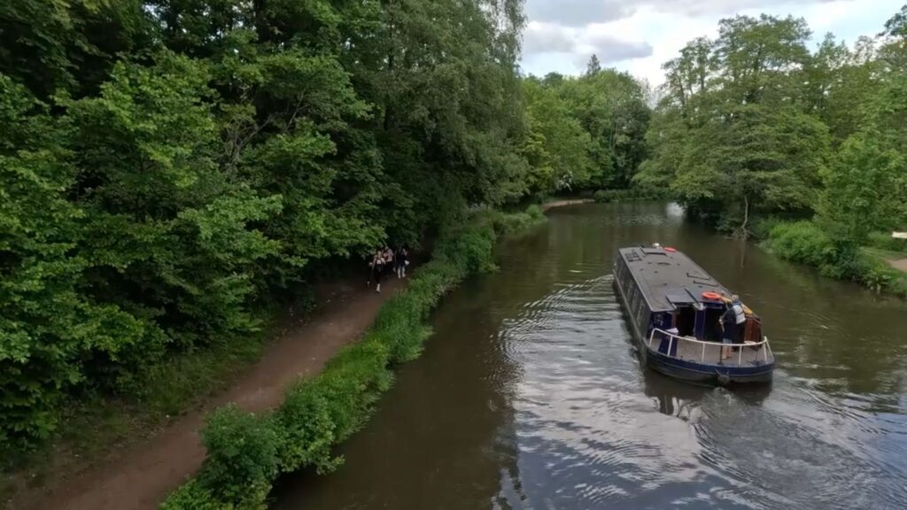
Experience the beauty of the North Downs Way firsthand by joining us on a delightful walk. Covering a distance of 10.5 km in 2.5 hours, this enchanting journey will leave you refreshed and inspired by the stunning landscapes.
Follow the entire walk on . The route map is available on
.

Waypoint
A:Puttenham
B:Puttenham Golf Course
C:Watt’s Gallery
D:Ruin of St Catherine
E:St.Martha’s Church
F:Albury Downs
Welcome back to our North Downs Way adventure! This video is a continuation of our walk that started from Farnham, with the previous video ending at Puttenham.
From Puttenham [A], continue along The Street, which is part of the North Downs Way. You’ll pass by St. John Baptist Church on the right before arriving at the B3000, a busy country road linking the Hogs Back and Guildford and Godalming.
Turn right and, after approximately 100 metres, you’ll come across the Pickled Pig Pub, where a traffic island provides a safer point to cross the B3000. The North Downs Way continues on the other side, initially as a lane before becoming a wide footpath. For the next 1.5 kilometres, the path is largely tree-lined as it passes through the Puttenham Golf Club on either side.
The footpath reaches a fork near a couple of houses. The North Downs Way takes the left path, passing close to the front of the house. The footpath becomes noticeably narrower as it winds gently through Wanborough Common and Hurt Hills on the right before reaching an asphalt path. Follow this path to the right, passing first under a bridge over the wide and busy A3 Guildford and Godalming Bypass, and then over the off-ramp of this bypass. In another 300 metres, the North Downs Way arrives at Down Lane. Cross the road and turn left toward Watts Gallery [C].
The North Downs Way continues slightly uphill in its eastward direction for about 2 kilometres. The Hog’s Back (A3100) passes along to the right, approximately 600 metres away. On the right, you’ll notice East and West Warren sloping upward. The famous Loseley House, though not visible from the North Downs Way, is about 1 kilometre to the left.
The North Downs Way meets a tarmac road and continues left, and then right along it. As you approach Guildford, the view from the North Downs Way changes from a country footpath to one passing by houses, until you emerge at Sandy Lane which becomes Portsmouth Road (A3100).
Cross the Portsmouth Road and turn right, then left at the ruin of St. Catherine’s Chapel [D]. Continue on the land behind houses down a steep lane until you reach the River Wey. Cross the bridge on the right and follow the path that takes you right, and then across the open field of Shalford Park.
Cross the A281 and walk up Pilgrim Way. Cross the road to Chantry Wood Car Park in 300 metres. Continue on the North Downs Way with Chantries on the right and open pastures with horses on the left. Further left on the ridge is Pewley Down.
After 1.5 kilometres, you’ll arrive at Halfpenny Lane. Cross the lane to go up a moderately steep hill toward St. Martha’s Church [E]. Your hard work will be rewarded with an excellent view of the rolling Surrey Hills.
The North Downs Way continues eastward, with a number of footpaths crisscrossing this area. Follow the main footpath that heads downhill. Continue along the footpath to the turn at the bunker, which leads you to Keepers Cottage. Just past the cottage, the North Downs Way continues uphill, running alongside Guildford Lane.
After 400 metres, the path crosses Guildford Lane. As you trek under the wooded area, the view opens up to Albury Downs, where our walk ends.
Please continue our journey in the next video, which will take you from here along the North Downs Way toward Ranmore Common.
Click here to continue the journey from Puttenham to Albury Downs along the North Downs Way in the next blog.

