Step into the scenic wonders of the North Downs Way as we invite you to join us on a leisurely walk. Embark on a captivating adventure, covering 11 km over 3.5 hours, and indulge in the picturesque charm of this remarkable trail.
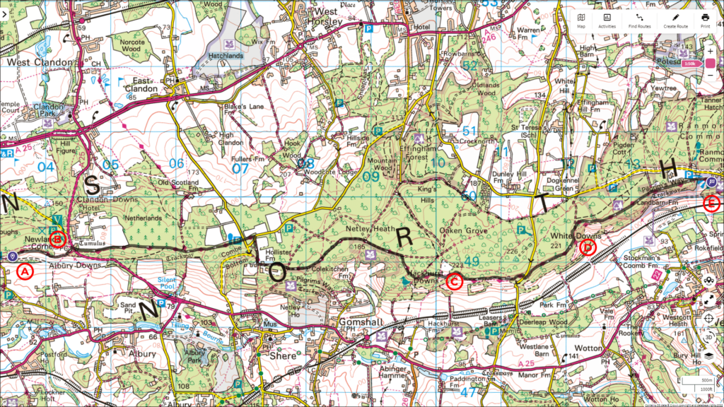
Follow the entire walk on . The route map is available on
.

Waypoint
A:Albury Downs
B:Newlands Corner
C:Blatchford Down
D:Viewpoint to Dorking
E:Viewpoint
Welcome back to our North Downs Way adventure! This video is a continuation of our walk that started from Farnham, with the previous video ending when we arrived at Albury Downs [A].
From here, continue across the wide-open field that slopes downhill from left to right, taking in the breathtaking view on the right. At the other end of this field lies Newlands Corner [B].
Carefully cross the A25, where the North Downs Way continues on a ridge with wooded areas on the right. From time to time, you’ll catch glimpses of the distant hills. On the left, you’ll notice farms and coniferous trees that gradually become more dense.
Continue eastward for about 2 kilometres until you arrive at a carpark at Staples Lane. Cross the lane and enter the footpath, continuing for about 200 metres before turning right onto Coombes Lane. Walk along the asphalt for 50 metres, and then the North Downs Way continues on the left toward Hollister Farm. Take the left path, passing by some barns belonging to the farm on the left. The North Downs Way becomes a footpath again at the far end of the farm, and once again, you find yourself in a wooded terrain with conifers.
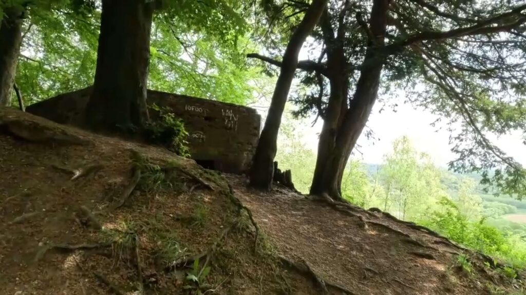
This continues for about 4 kilometres, taking you over Hackhurst Downs and Blatchford Down [C]. The view from Blatchford Down is even more stunning, as the terrain opens up and the viewpoint is higher. Keep an eye out for pillboxes along the way.
After Blatchford Down, the North Downs Way reaches White Down Lane. Cross this road to rejoin the Way on the other side.
In about a kilometre, you’ll arrive at a pillbox as the North Downs Way rises steeply toward a gate. But before you head that way, turn right and go downhill for about 20 metres to enjoy a view in the direction of Dorking, due east. On a clear day, this view is quite spectacular [D].
Continue through the gate and up the hill. Walk for 2 kilometres along this flat section and wooded area of the North Downs Way, which takes you through the woods. From time to time, the view on the right will open up, offering a stunning vista of the valley below as the railroad passes.
Finally, you’ll pass through a kissing gate onto Steer Field. This is an excellent viewpoint [E] that overlooks Dorking and Westcott at the bottom of the valley, with the Mole Valley District beyond.
Our walk in this video ends here. Stay tuned for the next video, where we continue from Ranmore Common toward Bletchworth.
nt at Steer Field
Click here to continue the journey from Ranmore Common to Bletchworth along the North Downs Way in the next blog..

