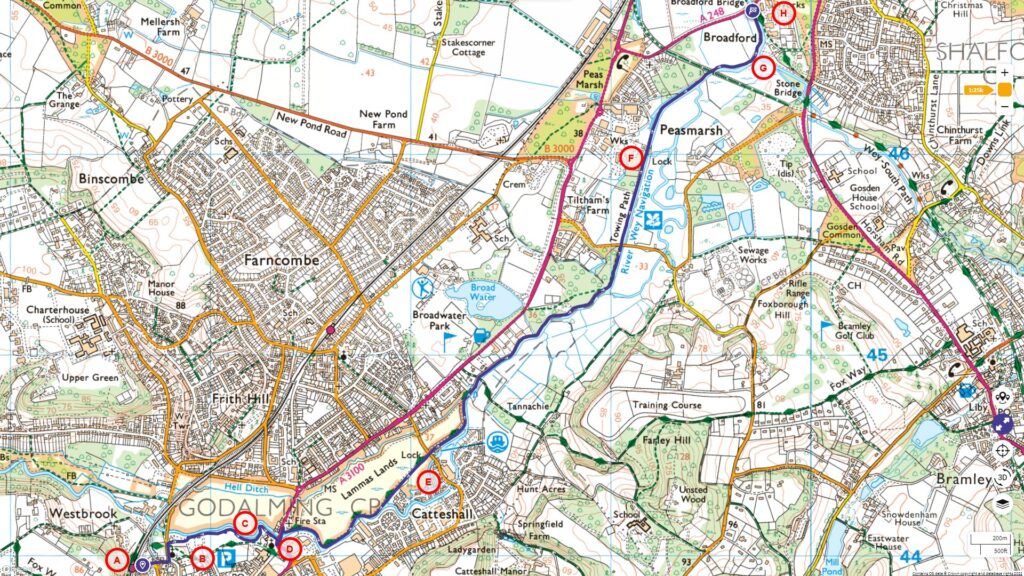
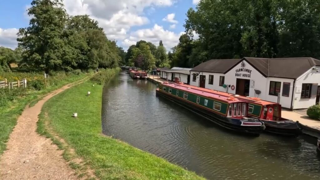
Starting from Godalming, this walk initiates a series that will take us along the Wey Navigation and the Thames Path, ending at the Thames Barrier.
Follow the entire walk on video. The route map is available on
.

Waypoints
A:Godalming Train Station
B:Philips Memorial Park
C:Lammas Lands
D:Bridge Street
E:Catteshall Lock
F:Unstead Lock
G:Wey and Arun Junction Canal
H:Broadford Bridge
Our journey starts at the Godalming Train Station [A]. After departing from the station, we walk down towards the car park. Shortly, we reach the Philips Memorial Park [B], dedicated to John Phillips, the Chief Wireless Telegraphist aboard the RMS Titanic. Notably, he was a resident of the nearby town, Farncombe. Click here to checkout our walk around Godalming.
The Lammas Lands [C] are sprawling floodplain meadows spanning 31.8 hectares situated in the town of Godalming in Surrey. Click here for more information about Lammas Lands, visit [].
Upon crossing the bridge at Bridge Street [D], we recommend walking around to the rear side of the church. This is where the towpath along the River Wey begins. On your left, the expanse of the Lammas Lands stretches out.
Travel for about a kilometre, and you will be greeted by the Catteshall Lock [E]. Built in 1764, this lock is a relatively newer addition to the Godalming Navigation. During the 18th and 19th centuries, this lock saw considerable activity. A multitude of barges made their way through here, carrying a variety of goods, including significant quantities of ammunition destined for the Portsmouth naval arsenal.
Another kilometre will lead you to the Unstead Lock [F], nestled in the village of Peasmarsh. The origins of this lock also trace back to 1764. William Cobbett, a prominent 19th-century politician and traveller, lauded the stretch between Catteshall and Unstead. He believed it perfectly encapsulated the scenic beauty of the Wey Navigation, bridging the towns of Godalming and Guildford.
A short walk of approximately 300 metres from the Unstead Lock brings you to a metal bridge. This structure was put up in 2006 by the National Trust. Its purpose is to link the Unstead Woods with the Downslink path. Interestingly, this path follows a former railway line that once connected Stonebridge in the north to Horsham in the south.
On the downstream side along the east bank, one can spot the Gun’s Mouth Junction. It’s here that the Wey and Arun Junction Canal [G] intersects with the Godalming Navigation. An interesting tidbit is that adjacent to this canal junction stood the gunpowder wharves. These wharves once catered to the Chilworth Power Mill. Click on the link to details and walk along the Chilworth Gunpowder Mill.
Following the flow of the Arun to our right, we press on straight. Our journey, for now, concludes as we reach the Broadford Bridge [H]. We invite you to accompany us in our upcoming segment, where we will continue our exploration along the towpath, passing through the historic town of Guildford and culminating at Ladymead.

